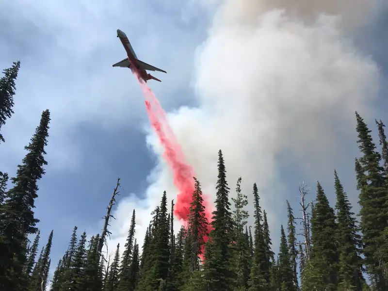
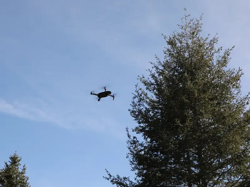
TFR map
Every temporary flight restriction on the FAA’s list, on one map: wildfires, VIP visits, stadiums and launches, what is closed to drones now and what starts later.
Live FAA list · every state
Open the map
Ten free tools for U.S. drone pilots: where you can fly, live flight restrictions, the sectional chart, the wind up high, density altitude, registration, the Part 107 test, which drone to buy and the FAA’s drone sighting reports.
Pick a spot on the map and your drone. You get one answer, GO, CAUTION or NO-GO, with the reasons under it: no-fly zones, airspace, the 400 ft ceiling, wind and daylight.
Reads live FAA, weather and park data each time you ask.
Sample answer Wimberley, TX · DJI Mini 4 Pro · for fun
Each one answers one question and shows how it got there.
Every temporary flight restriction on the FAA’s list, on one map: wildfires, VIP visits, stadiums and launches, what is closed to drones now and what starts later.
Live FAA list · every state
Open the map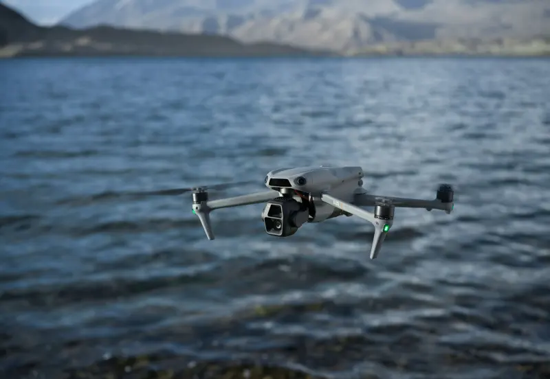
The next 48 hours, hour by hour: wind at 200 ft, rain, cloud and the Kp index, each judged against your drone’s wind rating.
48 h · wind at 200 ft
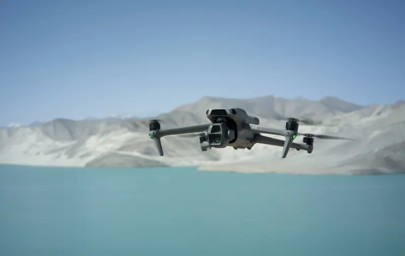
A ZIP code or a tap on the map: live weather and the ground elevation give the density altitude, and what thin air means for your drone.
Live weather · or your own values
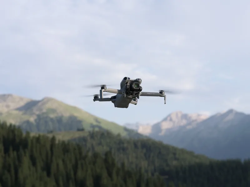
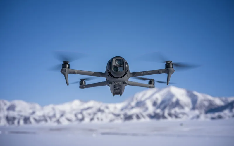
Put two or three drones side by side: the makers’ figures, the differences marked, and what U.S. rules mean for each one.
2 or 3 drones · drawn to one scale
Compare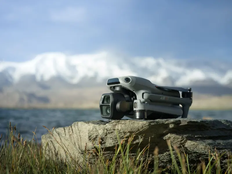
Three questions about your drone: register or not, where, the fee, and where the number goes on the drone.
3 questions · $5 for 3 years

Like the FAA exam: 60 questions in two hours. Every answer explained, with the FAA source it comes from.
60 questions · 70% to pass
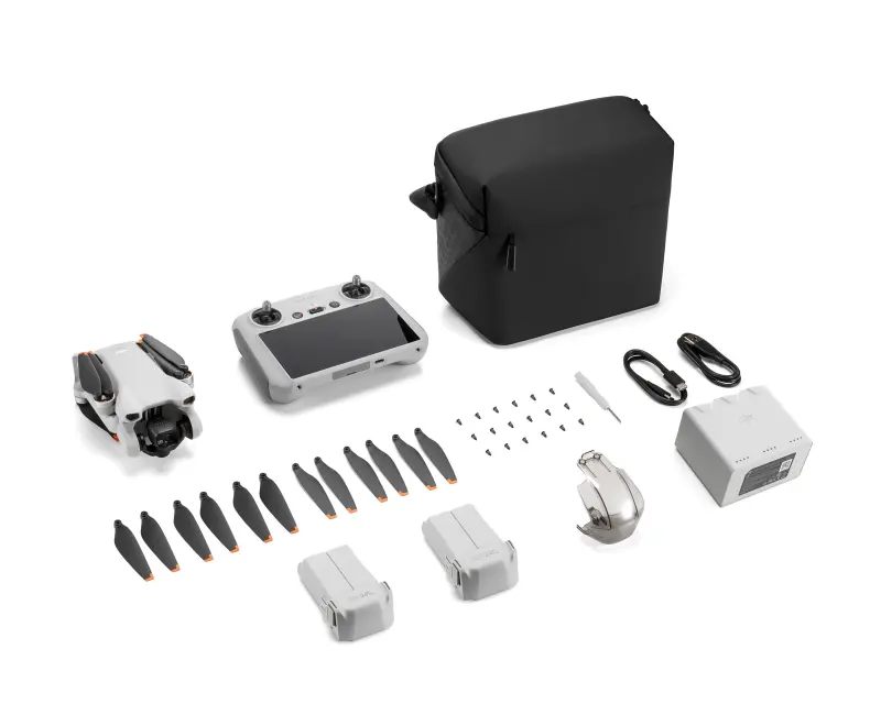
Five questions about how you fly, then the best matches from our 14 drone records, with the reasons in numbers.
5 questions · 14 drones
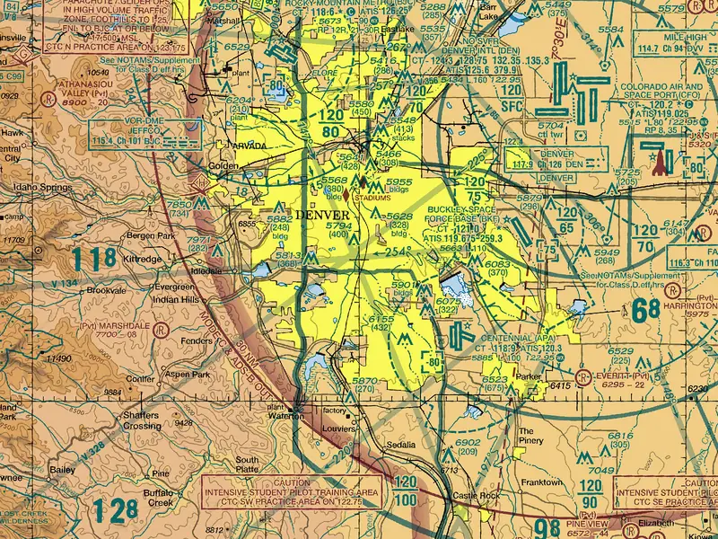
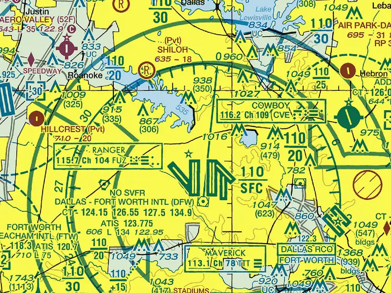
The FAA’s current VFR sectional chart at your ZIP code or city, and every symbol of the sectional chart legend explained in plain words.
FAA 56-day edition · legend explained
Open the chart
The drone sighting reports the FAA publishes, on one map: pick a state, a city or an airport for the count by quarter and the newest reports.
FAA reports since 2019 · every state
Free tools for U.S. drone pilots, one job per page. None of them needs an account.
One row per tool. Each runs in your browser and needs no account.
| Page | What it answers | Last checked |
|---|---|---|
| Can I fly my drone here? | Can I fly my drone here? Enter a place and drone for a verdict: no-fly zones, airspace, the ceiling, wind and daylight, under Recreational or Part 107 rules. | Live data |
| Density altitude calculator: by ZIP code, with live weather | Free density altitude calculator: live NWS weather by ZIP code or map tap, or your own values. Pressure altitude, air density and what it means for a drone. | |
| DJI drone comparison: compare DJI drones side by side | Compare two or three DJI drones and other small drones: maker figures side by side, the differences marked, and what U.S. rules mean for each. | |
| Drone sightings map: FAA drone sighting reports by state and airport | Map of every FAA drone sighting report since 2019 by state, city and airport: the count by quarter, the reports near you, and how to report a drone. | |
| Drone weather forecast for flight planning, hour by hour | Free drone weather forecast for up to 48 hours: estimated wind at 200 ft, rain, cloud and Kp, each hour judged against your own drone's wind rating. | |
| FAA drone registration: do I have to register my new drone? | Answer three questions for your drone: register or not, where, the $5 FAA fee, the number on the drone, Remote ID and the steps on FAADroneZone. | |
| Part 107 practice test: 60 questions, two hours, like the FAA exam | Free Part 107 practice test: 60 questions, two hours and a 70% pass line, or a short check. Score by area and every answer explained with its FAA source. | |
| Sectional chart: the FAA VFR chart at your location, legend explained | Free FAA sectional chart at your ZIP code or city, current 56-day edition, with each sectional chart legend symbol explained in plain words for drone pilots. | |
| TFR map: live temporary flight restrictions across the U.S. | Live map and list of FAA temporary flight restrictions (TFRs) in the U.S.: filter by state and type, find TFRs near you, see what each means for a drone. | |
| What drone should I buy? Find the best drones for how you fly | Answer five questions and get the best drones for how you fly from our 14 records, each pick with its reasons in numbers and what it means under U.S. rules. |
The same tools, sorted by where you are with your drone.
Pick a drone and know the paperwork it brings.
Check the spot, the hour and the papers.
Part 107: the test, then every flight.
Yes. No account, no sign-up and nothing to install. They run in your browser, on a phone or a computer.
From public sources, read at the moment you ask: FAA airspace and airport data, temporary flight restrictions, stadium and national park areas, the National Weather Service forecast, and NOAA’s Kp index.
No. When a spot needs permission near an airport, the check says so. You ask for it in the app of an FAA-approved LAANC company, or on FAADroneZone.
Photos: DJI press images. U.S. Forest Service, Northern Region, FAA and Joel Kowsky, NASA (public domain).