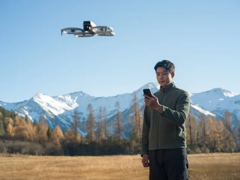
How high can a drone fly? Legal limits and physical ceilings
Up to 400 feet above the ground in uncontrolled airspace, 400 feet included, for recreational flyers and Part 107 pilots alike.
- Above the ground, 121.92 m
- 400ft
- Part 107 beside a 600 ft tower
- 1,000ft
- Below the clouds, Part 107
- 500ft
- Airports with LAANC
- 726
FAA regulations on how high a drone can fly
Two different numbers answer this question. This page keeps the legal altitude limits and the physical ceilings apart.
The physical ceiling
The physical ceiling is how high above sea level a maker rates its drone to take off.
Physical ceilingsThe Federal Aviation Administration (FAA) sets the same altitude limit in both of its rulebooks for small drones, in different words: the recreational exception of 49 U.S.C. 44809, for flights “strictly for recreational purposes”, and Part 107, which covers other civil small drone operations. Part 107 does not apply to aircraft flown under 44809, so a flight follows one rulebook or the other, never a mix of the two.
- Flying for fun
Up to 400 feet above the ground in Class G, 400 feet included. Flight restrictions still apply under that height.
400 ftThe exact rule
… in Class G airspace, the aircraft is flown from the surface to not more than 400 feet above ground level and complies with all airspace and flight restrictions and prohibitions established under this subtitle, such as special use airspace designations and temporary flight restrictions.
49 U.S.C. 44809(a)(6), Exception for limited recreational operations of unmanned aircraftWhat it means: in uncontrolled airspace you may fly up to 400 feet above the ground, 400 feet included, and flight restrictions such as temporary flight restrictions still apply under that height.
- Part 107
400 feet above the ground, 400 feet included, or higher only close to a structure.
400 ftThe exact rule
The altitude of the small unmanned aircraft cannot be higher than 400 feet above ground level, unless the small unmanned aircraft: (1) Is flown within a 400-foot radius of a structure; and (2) Does not fly higher than 400 feet above the structure's immediate uppermost limit.
14 CFR 107.51(b), Operating limitations for small unmanned aircraftWhat it means: 400 feet above the ground, 400 feet included, unless you stay close to a structure, as the structure section below explains.
Both texts include 400 feet itself (“not more than”, “cannot be higher than”); 401 feet is over. The FAA's recreational rules list puts it in one line, “Fly at or below 400 feet in Class G (uncontrolled) airspace”, and AC 91-57D adds that recreational flyers need no authorization in Class G at or below 400 feet above ground level (AGL). AC 107-2A restates the Part 107 limit with the structure exception.
In metric units, 400 feet is exactly 121.92 meters. U.S. rules state feet; a 120 m limit is another country's rule, not the FAA's.
Why 400 feet
The FAA explained the number in its 2016 Part 107 rule. Most manned aircraft operations take place higher than 500 feet above ground level, so the proposed rule had a 500-foot ceiling. The final rule lowered it to 400 feet, which “will provide an additional 100-foot margin of safety between small UAS operations and a majority of aircraft operations in the NAS” (the national airspace system), and made the limit one a Part 107 waiver can cover.
How high you can fly a drone: recreational and Part 107 side by side
Part 107 pilots may fly higher within 400 feet of a structure, and near airports the altitude the FAA authorizes is the limit.
The common cases, each rulebook in its own cell. A flight follows one rulebook or the other, never a mix of the two.
| Situation | Flying for fun | Part 107 |
|---|---|---|
| Open country: uncontrolled airspace (Class G) | Up to 400 ft above the ground. 400 ft itself is allowed, and no authorization is needed.49 U.S.C. 44809(a)(6) | Up to 400 ft above the ground. 400 ft itself is allowed, and no authorization is needed.14 CFR 107.51(b) |
| Next to a tall building or tower | No exception: still 400 ft above the ground. From a 100 ft roof, that leaves 300 ft above the roof.AC 91-57D, para 2.2.6.1 | Higher within 400 ft of the structure, up to 400 ft above its top: up to 1,000 ft above the ground beside a 600 ft tower.14 CFR 107.51(b)(1)-(2) |
| Controlled airspace near an airport (Class B, C, D or surface Class E) | Prior FAA authorization through LAANC or FAADroneZone, then at or below the authorized altitude.49 U.S.C. 44809(a)(5) | Prior authorization from air traffic control. The authorized altitude, measured above the ground, is the limit.14 CFR 107.41 |
| Near an airport, above the UAS Facility Map altitude | Through the FAA's process for approved fixed sites. LAANC further coordination is for Part 107 pilots only.49 U.S.C. 44809(c)(2)(B) | Up to 400 ft with a LAANC “further coordination request”, filed at least 72 hours and at most 90 days before the start, coordinated manually through the FAA.14 CFR 107.41; FAA LAANC page |
| Above 400 ft, away from any structure | Only from an approved fixed site, with prior FAA authorization. A Part 107 waiver does not cover a recreational flight.49 U.S.C. 44809(c)(2)(C) | Only with a certificate of waiver of 107.51, issued if the flight “can safely be conducted”.14 CFR 107.205(i) and 107.200(a) |
| Near an airport in uncontrolled airspace | No authorization needed under 400 ft. Stay clear of traffic patterns and takeoff and landing areas.FAA, Flying Near Airports | No authorization needed under 400 ft. Stay clear of traffic patterns and takeoff and landing areas.14 CFR 107.43; FAA, Flying Near Airports |
| Where “above ground level” is measured from | The Earth's surface. Structures, trees and other obstacles do not count as ground.AC 91-57D, para 2.2.6.1 | The ground the drone is flying over, whatever the terrain, not the takeoff point.14 CFR 107.51(b); the 2016 final rule, 81 FR 42064 |
Flying near a tall structure: the 400-foot radius rule (Part 107 only)
Within 400 feet of a structure, a Part 107 pilot may fly up to 400 feet above its top. Flying for fun, 400 feet above the ground stays the top, next to a tower too.
Part 107 lets you fly higher than 400 feet above the ground only while both conditions hold at once: the drone is within a 400-foot radius of a structure, and it is no higher than 400 feet above the structure's “immediate uppermost limit”. Picture a cylinder with a 400-foot radius around the structure, its top 400 feet above the structure's highest point.
Worked example: beside a 600-foot tower you may fly up to 1,000 feet above the ground while you stay within 400 feet of it. Beside a 300-foot tower the top is 700 feet.
The reason is spacing from manned aircraft, which must keep 500 to 1,000 feet away from structures (14 CFR 91.119). The FAA wrote that flying higher close to a structure “will enable additional operations (such as tower inspection and repair) while maintaining separation between small unmanned aircraft and most manned aircraft operations.”
Flying for fun: what the FAA's guidance says
‘Ground level’ begins at the Earth's surface and does not include man-made structures, trees, or any obstacle. For example, a UA engaged in recreational operations under 49 U.S.C. § 44809(a) may not be launched from a 10-story rooftop and fly up an additional 400 feet.FAA Advisory Circular 91-57D, paragraph 2.2.6.1
What it means: recreational flyers get no structure exception. Launch from a 100-foot roof and you may climb to 400 feet above the ground, which is 300 feet above that roof.
The structure rule does not replace an airspace authorization: near an airport in controlled airspace, a Part 107 pilot beside a tower still needs the authorization of 14 CFR 107.41, as the next section explains.
On the Part 107 test
The structure rule is on the Part 107 knowledge test. Try the exam question on this rule in our Part 107 practice test.
Part 107 practice testNear airports: how high in controlled airspace
In controlled airspace you need authorization at any height, and the altitude it gives you, above the ground, is your limit.
In controlled airspace near airports (Class B, C and D, and the surface area of Class E designated for an airport) both rulebooks ask for permission before you fly your drone:
- Flying for fun
The operator “obtains prior authorization from the Administrator or designee before operating” (49 U.S.C. 44809(a)(5)). The FAA's recreational rules: “Fly at or below FAA-authorized altitudes in controlled airspace … only with prior FAA authorization by using LAANC or DroneZone.”
Authorization - Part 107
No flight there “unless that person has prior authorization from Air Traffic Control (ATC)” (14 CFR 107.41).
ATC authorization
The altitude you may get is set by the FAA's UAS Facility Maps, which “show the maximum altitudes around airports where the FAA may authorize part 107 UAS operations without additional safety analysis”. The maps themselves “DO NOT authorize operations”. Their altitudes are above the ground: “The maximum altitude contained in an airspace authorization is the maximum altitude a UAS Operator may fly above the ground.” Each map cell is 30 seconds of latitude by 30 seconds of longitude, about 0.25 square miles in most of the lower 48 states, and the maps change with the FAA's 56-day aeronautical chart cycle.
LAANC (Low Altitude Authorization and Notification Capability) gives drone pilots “access to controlled airspace at or below 400 feet”, with near real-time requests for “operations under 400 feet in controlled airspace around airports (available to Part 107 Pilots and Recreational Flyers)”. The FAA lists LAANC at 726 airports; near other airports you apply through the manual process in FAADroneZone, which AC 91-57D asks recreational flyers to do at least 90 days before the flight.
Above the map altitude. Part 107 pilots can send a LAANC “further coordination request” to fly above the map value, up to 400 feet, filed at least 72 hours and at most 90 days before the start, and the FAA says a request above the map altitude “may still be approved but would need coordination with the facility and additional FAA safety analysis.” That route is “available to Part 107 pilots only”. For recreational flyers the statute has the FAA set up a process for fixed sites instead, and the FAA says “Some recreational flyer fixed sites have written agreements with the FAA that authorize flight in controlled airspace at certain altitudes.”
Near an airport in uncontrolled airspace, the FAA says: “For flights near airports in uncontrolled airspace that remain under 400' above the ground, prior authorization is not required.” Recreational flyers and Part 107 pilots alike must avoid traffic patterns and takeoff and landing areas, and Part 107 also bars interfering “with operations and traffic patterns at any airport, heliport, or seaplane base” (14 CFR 107.43). Our airspace guide and LAANC guide cover the steps.
Can I fly here?
The UAS Facility Map value, the airspace and temporary no-fly zones for the spot and the hour you pick.
See the map value for your spotCan you fly a drone above 400 feet? Waivers and fixed sites
Yes, with permission: a Part 107 pilot with an FAA waiver, a recreational flyer only from an approved fixed site with prior FAA authorization.
- Part 107 pilots
Part 107: a waiver from the FAA. The FAA's Part 107 waivers page lists “Over 400 feet above ground level (AGL)” as a waiver you can request, and its form asks “How high will you fly your aircraft (maximum altitude above ground level)?” Applications go through the FAA's Aviation Integrated Safety (AIS) Services, while airspace authorizations stay in FAADroneZone. The FAA says: “We will do our best to review and approve or disapprove waiver requests within 90 days of submission.”
WaiverThe exact rule
Section 107.51, which holds the 400-foot limit, is on the list of rules a certificate of waiver may cover (14 CFR 107.205(i)), and the FAA may issue one “if the Administrator finds that a proposed small UAS operation can safely be conducted under the terms of that certificate of waiver” (107.200(a)).
- Recreational flyers
Only from an approved fixed site, with prior FAA authorization. A Part 107 waiver does not cover a recreational flight.
Fixed siteThe exact rule
… may operate within Class G airspace— (i) up to 400 feet above ground level, without prior authorization from the Administrator; and (ii) above 400 feet above ground level, with prior authorization from the Administrator.
49 U.S.C. 44809(c)(2)(C), operations at fixed sitesWhat it means: a recreational flyer goes above 400 feet only from an approved fixed site, with prior FAA authorization. A Part 107 waiver does not cover a recreational flight.
AC 91-57D says the same: “To operate in Class G airspace above 400 feet AGL, a recreational flyer must do so from an approved fixed site in accordance with § 44809(c).”
What “above ground level” means over hills, cliffs and rooftops
400 feet counts from the ground under the drone, not from where you took off, and your app shows height from the takeoff point.
- Part 107
From the ground under the drone, whatever the topography.
Under the droneWhat the FAA wrote with the rule
The maximum altitude ceiling imposed by this rule is intended to limit the height of the aircraft above the ground over which it is flying (AGL). It is incumbent upon the remote pilot in command to maintain flight at or below this ceiling regardless of the topography.
FAA final rule, 81 FR 42064 (June 28, 2016), preamble on the maximum altitudeWhat it means: 400 feet counts from the ground under the drone, not from where you took off. The FAA wrote it in answer to people who asked about the launch point and sloping ground.
- Flying for fun
For recreational flyers, AC 91-57D defines the same reference surface: “‘Ground level’ begins at the Earth's surface and does not include man-made structures, trees, or any obstacle.”
Earth's surface - Your app
Your app counts from the takeoff point. The height a drone app shows is not height above the ground under the drone. DJI's Mini 4 Pro manual says the telemetry shows “height (H) from the Home Point”; the Antigravity A1 manual measures its altitude limit “from the take off point”; the DJI Mini 4K manual's diagram measures its height limit from the “Height of aircraft when powered on”.
Not AGL
A cliff, in numbers (our own arithmetic, not an FAA example): take off from a cliff top 300 feet above a valley floor and fly out over the valley with the app showing 200 feet. The drone is 500 feet above the ground under it, over the limit. Fly back over the cliff top and the same 200 feet on the app is 200 feet above the ground. Over rising ground it works the other way: the app shows more than your real height above the slope.
The cliff top you take off from, above the valley floor.
What the app shows, out over the valley.
Above the ground under the drone: over the limit.
The FAA's Part 107 guidance (AC 107-2A) names ways to judge height: an altitude device that reports height above sea level, minus the elevation of your control station; a GPS that reports height above sea level; pacing off 400 feet on the ground to get a feel for the distance; and “Using the known height of local rising terrain and/or structures as a reference.”
How high can a drone fly physically? Maximum altitude of different drone types
How high a drone can physically go is a different number: the highest elevation above sea level its maker rates it to take off from.
A spec sheet's “max takeoff altitude” is the elevation above sea level a drone is rated to take off from, not a height above the ground. DJI's footnote for the Flip says a charged aircraft “can take off from an altitude of 3000 m, ascend vertically by 500 m”, and the Neo's says “taking off from an altitude of 2000 m and ascending vertically by 120 m”. DJI's small-drone manuals call the same figure the “maximum service ceiling above sea level”.
The cards below show 14 drones. Those whose figure we read in the maker's own document are rated for takeoff from 6,562 ft (2,000 m) to 19,685 ft (6,000 m) above sea level. A heavier battery or propeller guards lower the figure, because the air is thinner at higher altitudes: “Aircraft and battery performance is subject to environmental factors such as air density and temperature.” DJI's manuals add: “DO NOT fly above the specified altitude.”
14 drones: the highest takeoff altitude above sea level each maker rates it for, highest first, and the maker's own height limit. Each bar runs from sea level to 20,000 ft. Read November 13, 2026 in the makers' spec pages and user manuals; a figure we could not read in a maker's own document says so.
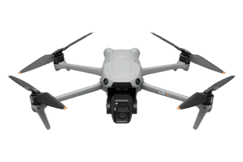
DJI Air 3S
19,685 ft (6,000 m) above sea level
DJI Air 3S specs
- With other batteries or guards
- None in the documents we read
- Maker's height limit
- You set it in DJI Fly; the manual prints no default figure.DJI Air 3S User Manual
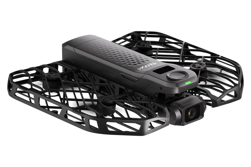
HOVERAir X1 PRO
18,045 ft (5,500 m) above sea level
HOVERAir X1 PRO & PROMAX page
- With other batteries or guards
- None in the documents we read
- Maker's height limit
- About 394 ft (120 m), listed under the Beacon & Joysticks controller specs.HOVERAir X1 PRO & PROMAX page
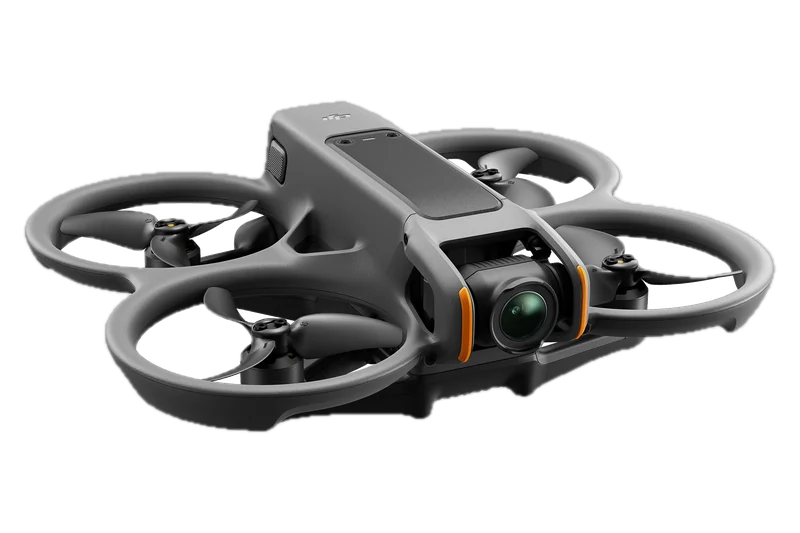
DJI Avata 2
16,404 ft (5,000 m) above sea level
DJI Avata 2 User Manual v1.0
- With other batteries or guards
- None in the documents we read
- Maker's height limit
- You set it in the goggles; the manual prints no default figure.DJI Avata 2 User Manual v1.0
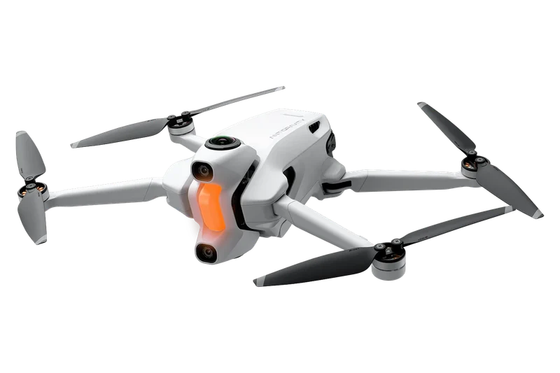
Antigravity A1
13,123 ft (4,000 m) above sea level
Antigravity A1 specs page
- With other batteries or guards
- 9,843 ft (3,000 m) with the High-Capacity Flight Battery
- Maker's height limit
- You set it in the goggles, measured from the takeoff point; the manual prints no default figure.Antigravity A1 User Manual v2.0
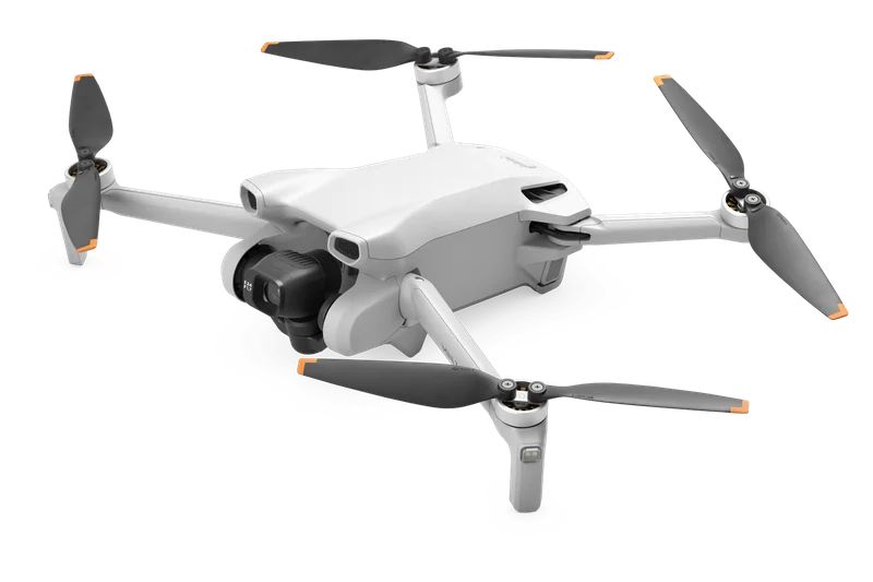
DJI Mini 3
13,123 ft (4,000 m) above sea level
DJI Mini 3 User Manual v1.2
- With other batteries or guards
- 9,843 ft (3,000 m) with Intelligent Flight Battery Plus; 4,921 ft (1,500 m) with the standard battery and a propeller guard; about 4,921 ft (1,500 m) in Payload mode
- Maker's height limit
- You set it in DJI Fly; the manual prints no default figure.DJI Mini 3 User Manual v1.2
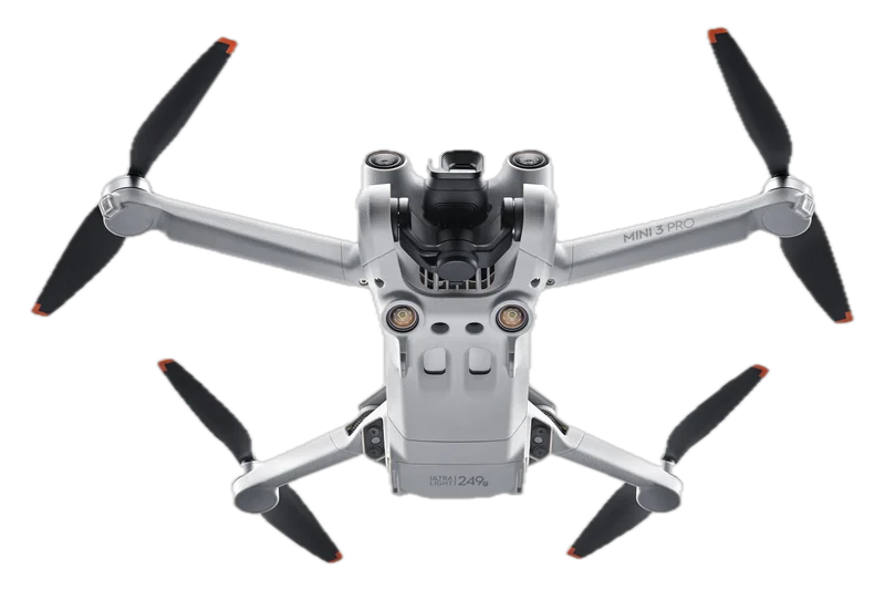
DJI Mini 3 Pro
13,123 ft (4,000 m) above sea level
DJI Mini 3 Pro User Manual v1.6
- With other batteries or guards
- 9,843 ft (3,000 m) with Intelligent Flight Battery Plus; 4,921 ft (1,500 m) with a propeller guard
- Maker's height limit
- The manual limits flying height to about 1,640 ft (500 m); for the height setting it prints no default figure.DJI Mini 3 Pro User Manual v1.6
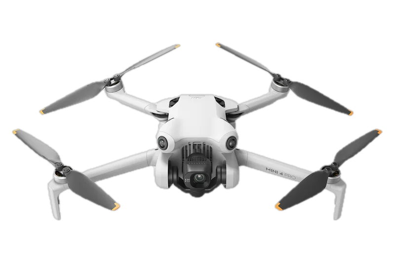
DJI Mini 4 Pro
13,123 ft (4,000 m) above sea level
DJI Mini 4 Pro User Manual
- With other batteries or guards
- 9,843 ft (3,000 m) with Intelligent Flight Battery Plus; 4,921 ft (1,500 m) with a propeller guard
- Maker's height limit
- You set it in DJI Fly; the manual prints no default figure.DJI Mini 4 Pro User Manual
Seven more drones, three with no figure in the documents we read
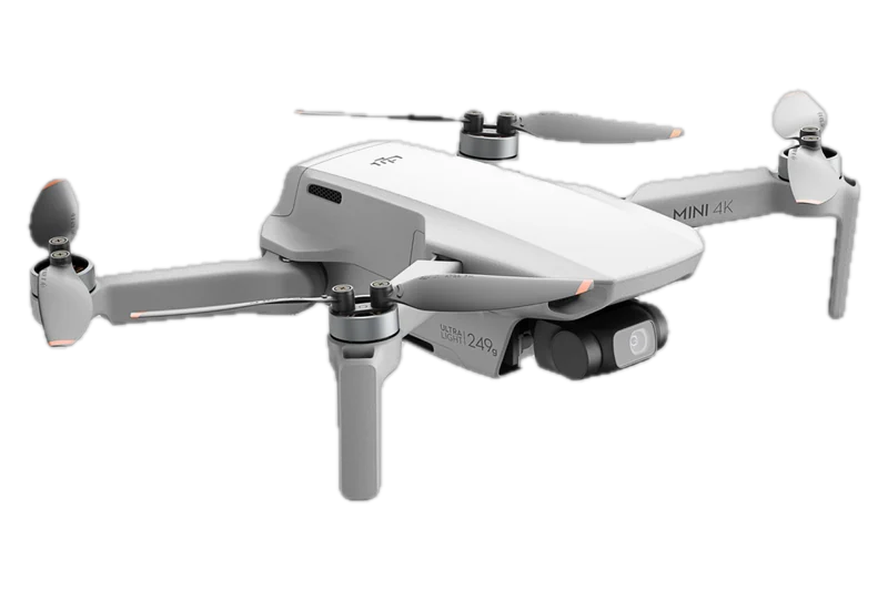
DJI Mini 4K
13,123 ft (4,000 m) above sea level
DJI Mini 4K User Manual v1.0
- With other batteries or guards
- About 6,562 ft (2,000 m) in Payload mode
- Maker's height limit
- You set it in DJI Fly, measured from where the drone was powered on; the manual prints no default figure.DJI Mini 4K User Manual v1.0
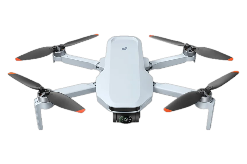
Potensic ATOM 2
13,123 ft (4,000 m) above sea level
Potensic ATOM 2 specs page
- With other batteries or guards
- Not stated in the documents we read
- Maker's height limit
- About 394 ft (120 m), “subject to local regulations” in the maker's words.Potensic ATOM 2 specs page
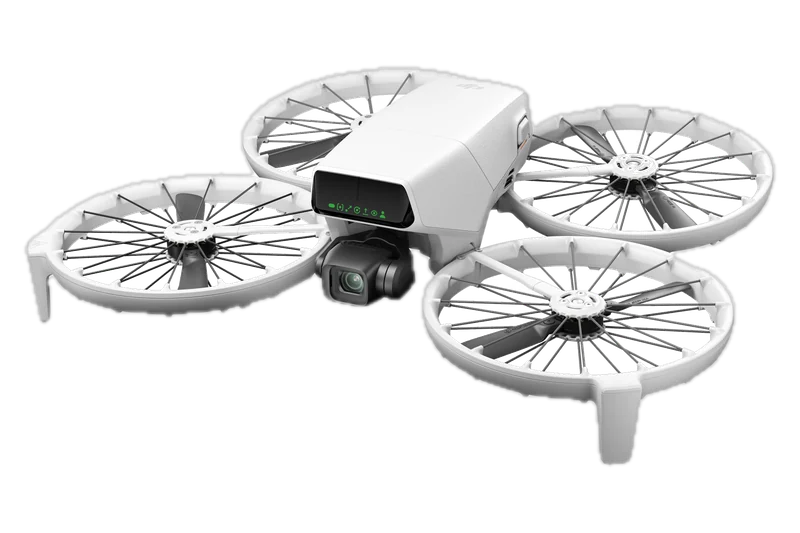
DJI Flip
9,843 ft (3,000 m) above sea level
DJI Flip specs
- With other batteries or guards
- None in the documents we read
- Maker's height limit
- Not stated in the documents we read
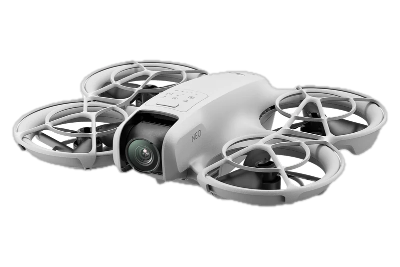
DJI Neo
6,562 ft (2,000 m) above sea level
DJI Neo specs
- With other batteries or guards
- None in the documents we read
- Maker's height limit
- About 98 ft (30 m) in Palm Control and in Mobile App Control.DJI Neo User Manual v1.2
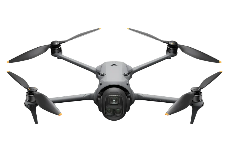
DJI Mavic 4 Pro
Not stated in the documents we read
- With other batteries or guards
- Not stated in the documents we read
- Maker's height limit
- You set it in DJI Fly; the manual prints no default figure.DJI Mavic 4 Pro User Manual v1.2
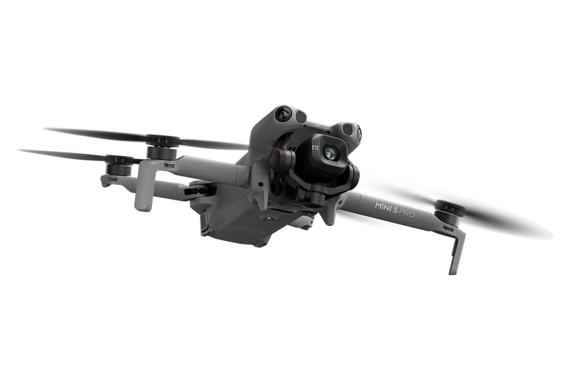
DJI Mini 5 Pro
Not stated in the documents we read
- With other batteries or guards
- Not stated in the documents we read
- Maker's height limit
- You set it in DJI Fly; the manual prints no default figure.DJI Mini 5 Pro User Manual
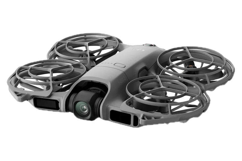
DJI Neo 2
Not stated in the documents we read
- With other batteries or guards
- Not stated in the documents we read
- Maker's height limit
- About 197 ft (60 m) in Palm Control and Mobile App Control, and it cannot be changed. With a remote controller you set it in DJI Fly; the manual prints no default figure.DJI Neo 2 User Manual v1.2
- Rated takeoff altitude: above sea level, as the maker rates the drone. It says nothing about how high you may fly.
- Maker's height limit: the height cap in the maker's app or manual. DJI says its flight limits are “enabled by default”, and none of its manuals we read prints the default height. With a weak satellite (GNSS) signal DJI caps height lower, for example at about 98 ft (30 m) from the takeoff point on the Mini 4 Pro and about 164 ft (50 m) on the Avata 2, when there is enough light.
- Not stated in the documents we read: we did not read the figure in the maker's own current document, so we give none.
Other limits: clouds, flight restrictions, line of sight, night
Clouds can bring the Part 107 limit below 400 feet, flight restrictions apply under it, and at night the limit stays the same.
- Clouds (Part 107)
Stay at least “500 feet below the cloud” and “2,000 feet horizontally from the cloud”, with flight visibility of at least 3 statute miles from the control station (14 CFR 107.51(c) and (d)). Under a 700-foot cloud base, the Part 107 limit is 200 feet above the ground. Our drone weather forecast shows the cloud hour by hour.
500 ft below - Clouds and line of sight (flying for fun)
49 U.S.C. 44809 sets no cloud distance or visibility number. Keep your drone within visual line of sight of yourself or of a visual observer next to you (44809(a)(3)).
In sight - Line of sight (Part 107)
The pilot or a visual observer must be able to see the drone to “Determine the unmanned aircraft's attitude, altitude, and direction of flight” (14 CFR 107.31(a)(2)).
In sight - Flight restrictions below 400 feet
Recreational flyers must comply with “special use airspace designations and temporary flight restrictions” (44809(a)(6)); Part 107 pilots need permission to fly in prohibited or restricted areas (14 CFR 107.45).
Still apply - Night
The altitude limit is the same. Part 107 pilots may fly drones at night once their initial test or training was completed after April 6, 2021, with anti-collision lights visible for at least 3 statute miles (14 CFR 107.29(a)). For recreational flyers, AC 91-57D keeps the drone in line of sight “including when operating at night” and recommends lights visible for 3 statute miles. Both rulebooks for flying after dark are in our guide to flying drones at night.
Same limit
What happens if you fly a drone above 400 feet?
The FAA may take enforcement action. The documents we read name no dollar amount for flying too high.
The FAA's recreational rules end with one sentence for every rule on the list, the 400-foot limit among them: “Individuals violating any of these rules, and/or operating in a dangerous manner, may be subject to FAA enforcement action.” The statute also keeps the FAA's authority “to pursue an enforcement action against a person operating any unmanned aircraft who endangers the safety of the national airspace system” (49 U.S.C. 44809(e)). No dollar amount for an altitude violation appears in the documents we read for this page, so we give none.
Can I fly here?
Airspace, ceilings and temporary no-fly zones for the spot and the hour you pick.
Check where you can flyRelated pages
Before you fly
The place, the airspace, the weather and the hour.
Rules
The tests and the land under the drone.
Drones and work
How far drones go, and work at height.
Questions about drone altitude limits
How high can a drone fly in meters?
The U.S. limit is 400 feet above the ground, which is exactly 121.92 meters. U.S. rules state it in feet.
How high is 400 feet in the air?
121.92 meters, measured from the ground under the drone, not from where you took off.
How high can a DJI drone fly?
Legally, a DJI drone follows the same rules as any other: 400 feet above the ground in uncontrolled airspace. Physically, DJI rates the models on this page whose figure we read in DJI's own documents for takeoff from 6,562 ft (2,000 m) to 19,685 ft (6,000 m) above sea level. In the app you set your own height limit; DJI's manuals print no default figure.
What is the maximum altitude in uncontrolled airspace?
400 feet above the ground for both recreational flyers and Part 107 pilots. Part 107 pilots may go higher within 400 feet of a structure, up to 400 feet above its top.
How high can you fly a drone without FAA approval?
Up to 400 feet above the ground in uncontrolled (Class G) airspace, including near airports in uncontrolled airspace. In controlled airspace near airports you need authorization at any height.
How high can you fly a drone with FAA approval?
Near airports, up to the altitude in your authorization, measured above the ground. To fly above 400 feet away from a structure, a Part 107 pilot needs a waiver; a recreational flyer needs an approved fixed site and prior FAA authorization.
How high can you fly a drone near an airport?
In controlled airspace, the altitude your authorization gives you; LAANC can approve up to the UAS Facility Map value for your spot. Near an airport in uncontrolled airspace, under 400 feet without authorization, away from traffic patterns.
Can you fly a drone at 1,000 feet?
Under Part 107, within 400 feet of a structure at least 600 feet tall, or with a waiver. A recreational flyer only from an approved fixed site in Class G airspace, with prior FAA authorization.
How high can a drone fly at night?
The same as by day: 400 feet above the ground in uncontrolled airspace. Part 107 night flights need anti-collision lights visible for 3 statute miles; recreational flyers must keep the drone in line of sight at night too.
What is the penalty for flying a drone over 400 feet?
The FAA says people who break its recreational rules “may be subject to FAA enforcement action”. The documents we read for this page give no dollar figure.
How high can a police drone fly?
Police and other public agencies fly either under Part 107 or as public aircraft under a certificate of waiver or authorization (COA). The FAA describes one COA type for drones under 55 lb in Class G airspace at or below 400 feet above the ground, and a jurisdictional COA for a set area that may include controlled airspace.
Sources Named, not linked. Checked November 14, 2026.
Documents are named, not linked. Each was read on November 13, 2026, and the rule texts and the FAA pages' dates and figures were read again on November 14, 2026.
Law and regulations
- 49 U.S.C. 44809, Exception for limited recreational operations of unmanned aircraft: (a), (b), (c)(2) and (e) (U.S. Code release point 119-142)
- 14 CFR 107.1, 107.29, 107.31, 107.41, 107.43, 107.45, 107.51, 107.200 and 107.205 (eCFR)
- FAA final rule, Operation and Certification of Small Unmanned Aircraft Systems, 81 FR 42064 (June 28, 2016): the preamble on the maximum altitude
FAA pages and guidance
- FAA, Recreational Flyers & Community-Based Organizations: the recreational rules list
- FAA, UAS Facility Maps and its FAQ
- FAA, Low Altitude Authorization and Notification Capability (LAANC)
- FAA, Flying Near Airports
- FAA, Part 107 Waivers
- FAA FAQ on public safety drone programs
- FAA Advisory Circular 91-57D (June 24, 2025) and FAA Advisory Circular 107-2A (February 1, 2021)
Makers' spec pages and manuals
- Antigravity A1 specs page
- Antigravity A1 User Manual v2.0
- DJI Air 3S specs
- DJI Air 3S User Manual
- DJI Avata 2 User Manual v1.0
- DJI Flip specs
- DJI Mavic 4 Pro User Manual v1.2
- DJI Mini 3 Pro User Manual v1.6
- DJI Mini 3 User Manual v1.2
- DJI Mini 4 Pro User Manual
- DJI Mini 4K User Manual v1.0
- DJI Mini 5 Pro User Manual
- DJI Neo 2 User Manual v1.2
- DJI Neo specs
- DJI Neo User Manual v1.2
- HOVERAir X1 PRO & PROMAX page
- Potensic ATOM 2 specs page
Report an error: support@windhorse.aero